價格:免費
更新日期:2013-10-30
檔案大小:903k
目前版本:1.0
版本需求:Android 2.2 以上版本
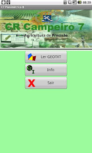
官方網站:http://www.crcampeiro.net
Email:crcampeiro@gmail.com
聯絡地址:Sala 115 - Prédio 44 J Centro de Ciências Rurais Universidade Federal de Santa Maria 97105.900 - Campus UFSM - Camobi Santa Maria
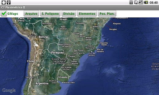
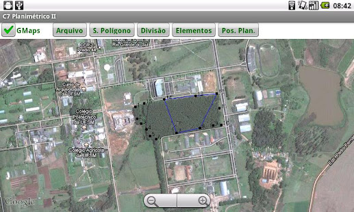
The C7 Planimetric System II from the recovery of a coordinate file (geotxt) of any polygon, in itself generated by surveying with GPS Android or image vectorization on the GMaps or edited by some external program topography, allow processing various functions of a planimetric such as:
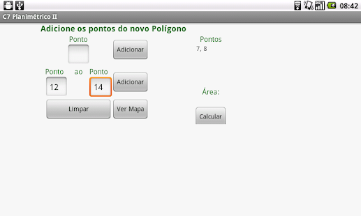
- Structuring sub polygons (assembling a new polygon sequences from the original polygon points, with calculation of area and perimeter, with the option to save as a new file geotxt)
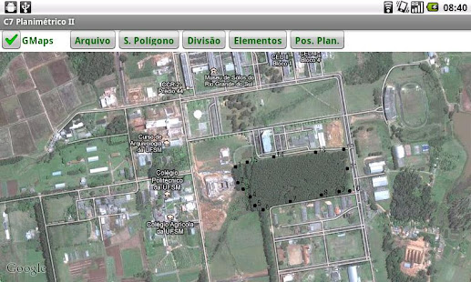
- Division areas. From the area of information sharing (m2) and the initial vertex of the calculation and straight lease the dividing point that meets the specifications given, the system calculates the UTM coordinates of the point P (E, N).
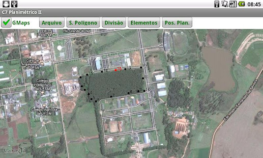
- Position Planimetric: Given a straight AB formed by any two points of the polygon, and given a distance (m) from point A, the position is calculated (E, N) this new point on the line.
- Distance: Calculate the distance between two points
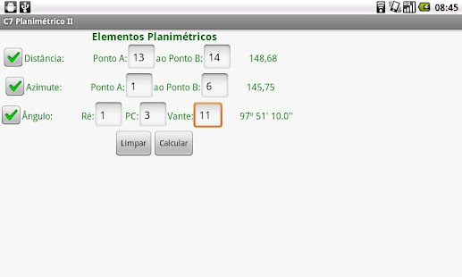
- Azimuth: Calculates the azimuth alignment defined by any two points of the polygon
- Internal Angle: Informing central vertex, vertex aft and fore of a vertex is calculated horizontal angle at the vertex formed internal central